- Company: Ferrovial Agroman US Corp.
- Industry: Transportation
- Location: Atlanta, Georgia
- Expected Completion Date: Spring 2020
- Project Website
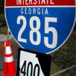
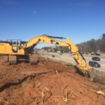
The I-285/SR 400 Interchange Improvement Project will reconstruct the I-285 and SR 400 interchange north of Atlanta. Along with the new interchange the improvements include eastbound and westbound collector-distributer lanes on I-285 and northbound and southbound collector-distributer lanes on SR 400. The project is approximately 4.3 miles of I-285 from west of Roswell Road to east of Ashford-Dunwoody Road and 6.2 miles along SR 400 from the Glenridge Connector to Spalding Drive. A diverging diamond interchange will also be constructed on Abernathy Road at SR 400.
The project will also create improvements for pedestrian and bicyclists in the area by creating a multi-use trail and tying into an existing trail – connecting a major hospital district to another major business district. The multi-use trail may encourage residents and commuters to choose alternate modes of transportation instead of driving a car. The multi-use trail will also provide safer passage for pedestrian and bicyclists who travel through the interchange area daily.
The new I-285/SR 400 Interchange Improvement Project will help reduce crashes and traffic congestion. In 2019, the average motorists will save 8 hours a year and 13 hours by 2039.
What impact does this project have on America?
The I-285/SR 400 Interchange Improvement Project is located north of Atlanta, Georgia in the Perimeter Community Improvement Districts. This district is home to national and international businesses such as Mercedes-Benz USA, State Farm and UPS. Over 400,000 vehicles travel through the interchange daily. The new interchange means improving mobility for local residents and commuters. The interchange will also improve business in the Perimeter Community Improvement Districts ultimately improving the local and state of Georgia’s economy – keeping Georgia the number one place to do business (http://www.georgia.org/competitive-advantages/pro-business/number-1-for-business/) .
What interesting obstacles or unusual circumstances did you overcome to complete the project?
One of the main challenges and dangers for the project is maintaining traffic during construction. The I-285/SR 400 Interchange Improvement project is in the heart of one of metro Atlanta’s busiest residential and business districts with more than 400,000 cars passing through per day. Traffic without construction is already challenging and adding construction will heavily impact the traveling public. We will continue to work closely with our client and partners to minimize construction related impacts while we work to safely and effectively deliver the project.
What dangers and risks did you encounter, and describe any extraordinary methods used to keep workers safe?
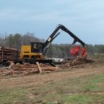
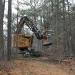
Heavy traffic is the biggest danger North Perimeter Contractors and its subcontractors face. To prevent NPC employees, subcontractors and Georgia DOT personnel from an injury or a fatality each person who works on or who will visit the project site must attend a safety orientation. NPC improves safety through a drug-free work environment. NPC’s Safety Manager and Safety Coordinator also develop personable relationships with subcontractors to help boost the positive impacts of following safety rules.Within the project limits on SR 400 northbound and southbound motorists use a shoulder as an auxiliary lane during peak travel times. NPC closes the shoulder lane daily from 7 a.m. until 7 p.m. to expand the buffer between the travel lanes and crews clearing and grubbing and performing other construction related activities. NPC also uses attenuator trucks when closing travel lanes to reinforce the safety barrier between construction crews and motorists. Georgia DOT’s standard lane closure is only requires signs and channelization tools such as barrels and cones. NPC uses attenuator trucks to further define the work zone and protect workers, exceeding the state of Georgia’s minimum lane closure standard.
How did you leverage new technologies to work faster and reduce waste?
NPC uses LiDAR technology for mapping. LiDAR (Light Detection and Ranging) takes millions of points of the land around or beneath it creating an image and clouds of points. NPC uses this data from the LiDAR technology for design and construction purposes.
NPC also uses drone technology to take pictures and aerials of the project. Drone technology reduces costs because the company does not use work hours or money to hire a person to take pictures. Project managers and associate project managers can easily fly the drone over the project to collect photographic data and take a general survey of the project limits.
